REVIEW · HAMBURG
Bike tour around the Alster – Celebs, water, and nature
Book on GetYourGuide →Operated by Kaupert-Hamburg-Radtour.de · Bookable on GetYourGuide
Hamburg from a bike is a smart shortcut. This Alster Lake tour mixes famous waterfront views with local parks, canals, and real neighborhood life. You’ll get a guided route that’s simple to follow and rich in small details you’d miss on your own.
I especially like two things: the long stretches along the water (Outer and Inner Alster) and the way the guide turns photo stops into mini stories. If you’re lucky, you’ll ride with Bernd, the guide named in feedback, who’s known for clear explanations and paying attention to the group.
The one drawback to keep in mind is practical: you’ll be cycling for about 3 to 3.5 hours. If you’re not comfortable on a bike for that length of time, or you need mobility support, this route won’t be a great fit—even with stops and breaks.
In This Review
- Key things worth knowing before you go
- A 3.5-hour Alster loop that makes Hamburg feel personal
- Price and value: $40 for a guide, a bike, and a CityMap
- Where you meet and how to be ready
- Dammtor toward Pöseldorf-Rotherbaum: consulates, residences, and green park edges
- Aussenalster photo time: when the water opens up
- Stadtpark Hamburg and the skyline coffee break
- Winterhuder Stadtpark, Stadtparksee, and the viewing platform
- Liebesinsel, Goldbekufer, and the towpath feel
- Winterhuder Kanal: canal views that slow your pace
- Uhlenhorst and the Blue Mosque area: a distinctive landmark view
- Feenteich, Schwanenwijk, and the Mundsburg Bridge moments
- Back via the Kennedy Bridge: Outer and Inner Alster together
- Who this tour suits best (and who should skip it)
- Should you book this Alster bike tour?
- FAQ
- How long is the bike tour around the Alster?
- How much does the tour cost?
- Where do I meet for the tour?
- What’s included in the price?
- What language is the live guide?
- What should I bring?
- Is the tour suitable for people with mobility impairments?
Key things worth knowing before you go
- Outer and Inner Alster, in one ride: you get both moods of the lake, not just one side.
- Skyline photo time plus a coffee break: you’ll stop where Hamburg looks at its best.
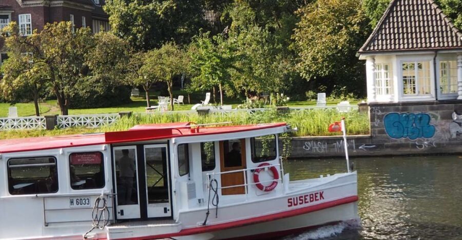
- Real suburb scenery: parks, towpaths, and residences line the water instead of just generic waterfront.
- A mix of landmark views: from the Blue Mosque area to bridge viewpoints over old and new Hamburg.
- Smaller, relaxed pace: feedback often highlights a calm group feel and good pacing with anecdotes.
- Easy navigation help: bikes and a CityMap are included, so you’re not stressed about directions.
A 3.5-hour Alster loop that makes Hamburg feel personal
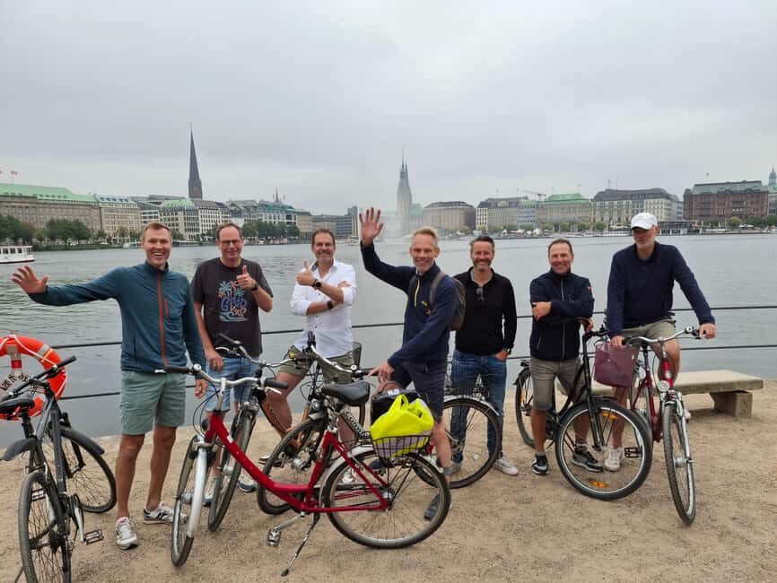
This bike tour is built around a simple idea: if you want to understand Hamburg, ride the water. The Alster is the center of gravity here—an elegant lake system threaded through parks, canals, bridges, and leafy residential edges. Cycling keeps you moving while still letting you absorb the scenery in a way a bus or walking loop can’t match.
The route also avoids the common problem of “you see one viewpoint and call it a day.” Instead, you’re constantly switching between lake panoramas, canal lanes, and park edges—so the city feels lived-in, not staged.
And yes, you’ll catch the fun stuff too: the vibe of sunshine along the waterfront, beaches, and the boating atmosphere when conditions are good. Even if the weather is moody, the water and greenery still do their job.
You can also read our reviews of more cycling tours in Hamburg
Price and value: $40 for a guide, a bike, and a CityMap
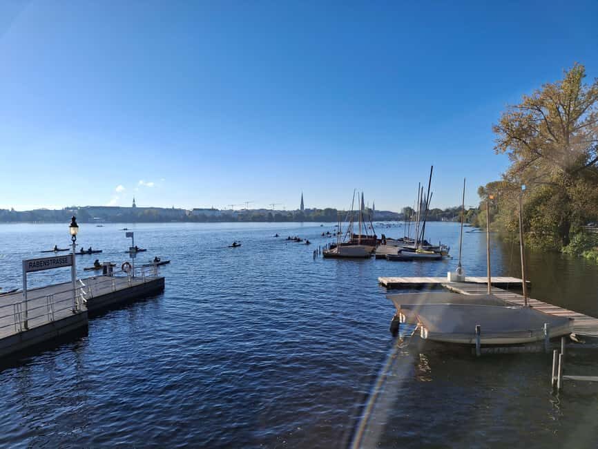
At $40 per person for a 210-minute guided ride, this is the kind of value that works especially well if you’re short on time. You’re paying for three things you’d otherwise have to figure out yourself: a bike, a knowledgeable guide, and a mapped route.
The bike and CityMap matter more than people think. Hamburg can look easy until you’re trying to connect waterfront paths and park segments. Having an organized flow helps you spend your energy on the views, not on navigation.
Also, this isn’t a “lecture tour.” The best feedback highlights the guide’s experience, attention, and lots of interesting inputs—plus pauses that feel normal instead of rushed.
Where you meet and how to be ready
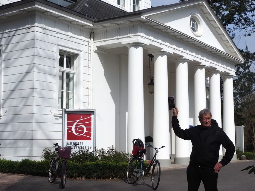
You’ll meet outside the Fahrradstation of the University of Hamburg, then the tour starts from Schlüterstraße 11. Plan to arrive a few minutes early so you can get settled, fit the bike comfortably, and start with confidence.
Bring comfortable clothes and rain gear. Hamburg weather changes fast, and even if rain doesn’t land, damp paths can. You’ll also want to be dressed for active cycling, not just sightseeing—because you’re on the saddle for long stretches.
One more practical note: this tour isn’t listed as suitable for people with mobility impairments. If that’s you, you’ll want a different format that matches your needs.
Dammtor toward Pöseldorf-Rotherbaum: consulates, residences, and green park edges
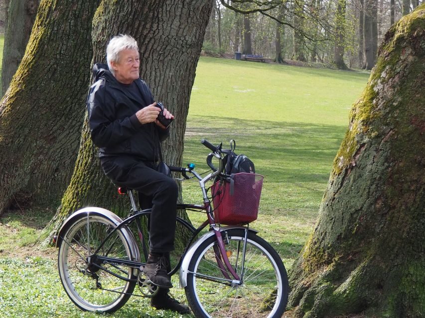
The ride begins by heading out from Dammtor toward Pöseldorf-Rotherbaum. Early on, you’ll pass consulates and residences, and you’ll also move through the parks around Harvestehude, Krugkoppel, and Fernsicht.
What I like about this opening section is the variety. You don’t start with a single postcard view—you start with the city’s rhythm: formal buildings, calmer residential streets, and park trails that transition smoothly into waterfront scenery.
If you like to photograph details, this is a good phase. You’ll get chances to pause for photos while the route naturally sets you up for the larger water panoramas later.
Possible consideration: city riding always comes with some attention to traffic and junctions. If you’re anxious on bikes in built-up areas, take the first part slow and focus on the route guidance.
Aussenalster photo time: when the water opens up
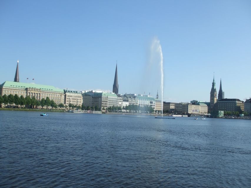
Next comes the Aussenalster moment—Outer Alster. This is where the whole tour starts to feel worth it in one clear sweep. The Alster expands into wide, open views, and you get the kind of scene where Hamburg’s skyline can show up sharply in the frame.
There’s a photo stop here and a guided segment, so you’re not just coasting. The guide’s job is to tell you what you’re actually looking at and how the waterfront connects to the neighborhoods around it.
This is also one of the best times to keep an eye out for boat activity. The Alster has a strong boating culture, and when the day is bright, you’ll see why people come here just to be near the water.



Stadtpark Hamburg and the skyline coffee break
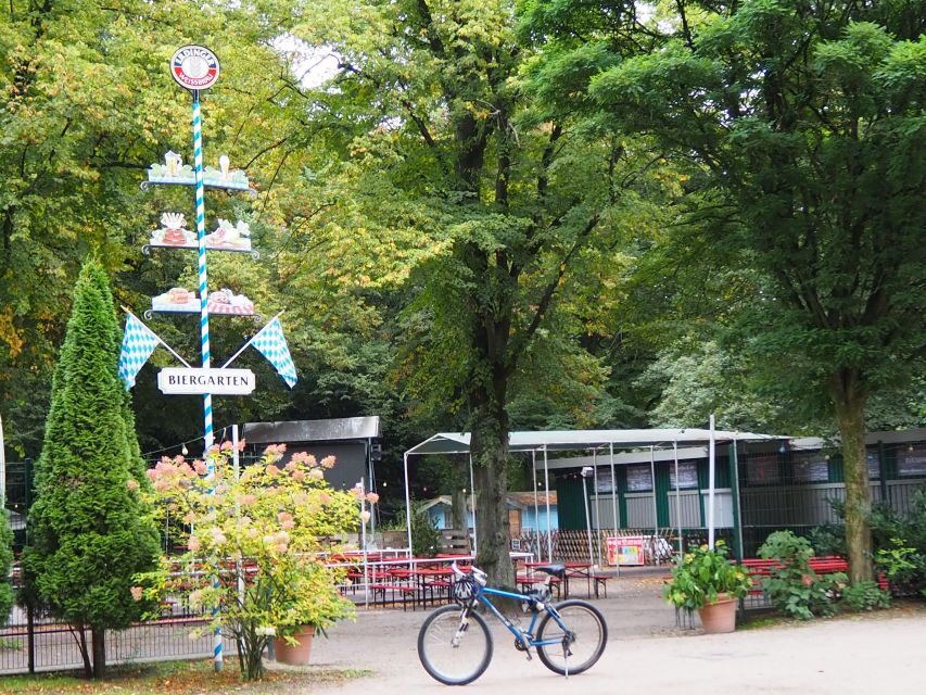
After the first water views, you roll toward Stadtpark, Hamburg. This area gives you the park-and-view combo: greenery, viewpoints, and a strong connection to the city center.
You’ll hit photo stops and a guided tour here too. The highlight is the panoramic angle that lets you see Hamburg’s skyline in a single glance. Add in the coffee break, and the timing feels smart: you get a scenic reward right before your legs need a breather.
If you’re the kind of person who likes to understand where a view comes from, this section helps. Parks in cities can feel generic until you know which lines the paths follow and why certain angles look better than others.
Drawback to consider: if you’re very temperature-sensitive, bring layers. Park sections can be cooler, especially near open water and breezier spots.
Winterhuder Stadtpark, Stadtparksee, and the viewing platform
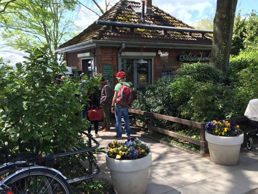
From the Stadtpark zone, you continue through the Winterhuder area, including Winterhuder Stadtpark. Here you’ll find a viewing platform and Stadtparksee, plus the planetarium area.
This is a more “park architecture and planning” kind of stop. Even if you’re not a museum person, the planetarium and the layout around the park give the area a distinctive character compared with the purely residential stretches.
I like how the route uses these points to break up the cycling with variety. It’s not nonstop scenic riding; it’s scenic riding plus small segments where you can refocus and take in a bigger picture.
If you love photos, look for angles where the lake shape and park structures line up. The guide can point you toward the best spots for that.
Liebesinsel, Goldbekufer, and the towpath feel
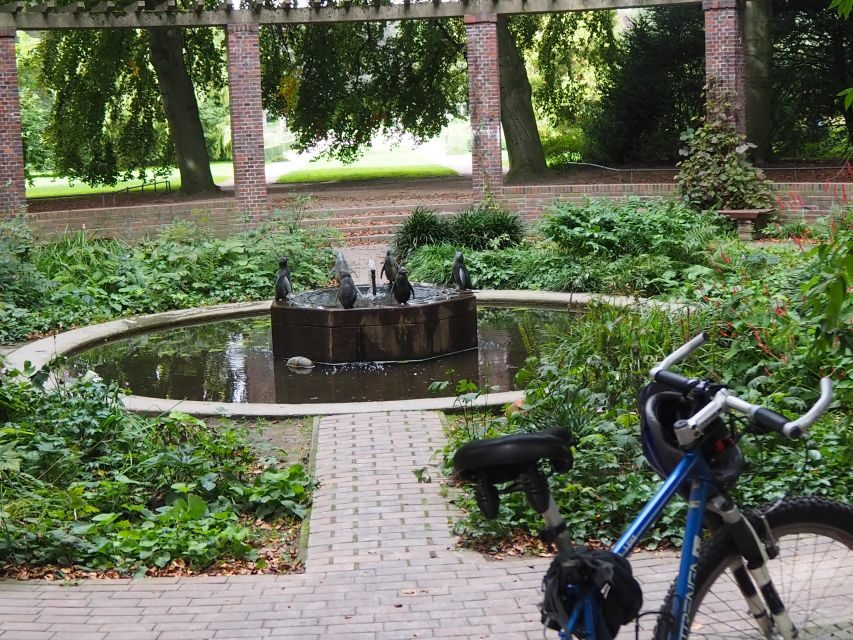
As you move onward, you start seeing the water in smaller, more intimate ways—Liebesinsel and Goldbekufer are part of that shift. These spots help the ride feel like more than “a big loop around a lake.” You get the sense that Hamburg’s waterfront is layered: islands, shorelines, and canal-adjacent edges all play different roles.
You’ll also ride along a towpath stretch, which tends to be calmer and more “water-level” than the wider open areas. That matters because it changes how the light hits and how you notice details like boats passing, reeds near the edges, or the way residences sit close to the water.
Possible drawback: these calmer paths can still be busy during pleasant weather. You’ll want to stay attentive and follow the guide’s instructions on where to pause and how to position your bike.
Winterhuder Kanal: canal views that slow your pace
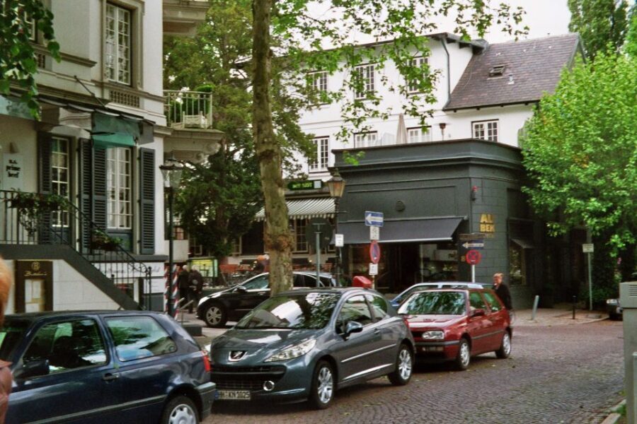
Winterhuder Kanal brings the scenery into a different mood. Compared to open Alster water, canals emphasize linear lines—bridges, banks, and reflections that make the ride feel like a moving gallery.
This is the part of the tour that’s great if you like quieter scenes. It’s also ideal for people who want nature and water together, without leaving the city.
And yes, even if it’s not a “big landmark,” canal riding is where you’ll feel the Hamburg local style most clearly—ordinary life next to water, not just tourist-facing spots.
Uhlenhorst and the Blue Mosque area: a distinctive landmark view
Uhlenhorst is where the tour adds a signature sight. You’ll pass the enchanted Blue Mosque and enjoy a unique view at the skyline of Hamburg’s old and new town.
This segment matters because it connects two ideas: architecture and perspective. The skyline view isn’t random. The route is placed so you get a blend—historic and modern—seen from the same biking-friendly corridor.
What I like here is that it’s not only about the building itself. It’s also about how you approach the view: you’re coming from water and park segments, so the skyline arrives like a reveal instead of an abrupt stop.
Practical consideration: skyline areas can be the breeziest. If you’re carrying a camera or phone, keep a secure grip and be ready for wind.
Feenteich, Schwanenwijk, and the Mundsburg Bridge moments
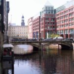
As you continue, you’ll reach Feenteich and Schwanenwijk, plus Mundsburg Bridge. These stops keep the tour from feeling repetitive by giving you more shifting views—smaller water pockets, different shoreline characters, and bridge structure moments.
Bridges are perfect biking-photo targets, because they frame the water and give you a sense of scale. When you combine that with reflections and the canal lines, the photos end up feeling more “Hamburg” than generic postcard.
Possible drawback: bridge areas can mean slower riding and tighter maneuvering. If you’re new to biking, take your time and let the group flow first.
Back via the Kennedy Bridge: Outer and Inner Alster together
The ride wraps up by focusing on the unique view of the Outer and Inner Alster in equal measure via the Kennedy Bridge.
This finish is a smart way to land the tour. You’ve spent the morning and midday moving through different water moods; now you see the system as a whole. It’s the kind of last look that makes you remember the route even after the bike wheels stop.
I also like that the ending doesn’t just say goodbye with a generic return ride. The final viewpoint gives you closure: a sense of how the lake, the waterways, and the neighborhoods connect.
Who this tour suits best (and who should skip it)
You’ll likely enjoy this tour if you:
- Want a bike-friendly way to see Hamburg’s water neighborhoods without planning a route
- Like guided context at photo stops, not just passive sightseeing
- Appreciate parks and canals, plus one or two real landmark moments (like the Blue Mosque area and skyline views)
- Prefer a relaxed group pace—feedback often mentions a calm, easy feel
You might want to skip it if:
- You need mobility assistance. The tour isn’t listed as suitable for people with mobility impairments.
- You’re uncomfortable cycling for about 3 to 3.5 hours, even with pauses.
Also, it’s worth noting that people even from Hamburg seem to like this, which usually means the route isn’t just for tourists. It’s built for people who want useful local details.
Should you book this Alster bike tour?
If you want maximum Hamburg feel for one afternoon, I’d book it. The route covers the Alster system in a way that’s visually satisfying and guide-supported, and the best feedback consistently points to the guide quality: experienced, attentive, and full of small insights and anecdotes. At $40, the bike + guide + CityMap package is good value, especially if you don’t want to build your own waterfront route.
Just be honest about your comfort level on a bike and bring rain gear. If you can do that, you’ll come away with that rare thing: a city view you understand, not just one you photographed.
FAQ
How long is the bike tour around the Alster?
It lasts about 210 minutes (roughly 3 to 3.5 hours, including stops).
How much does the tour cost?
The price is $40 per person.
Where do I meet for the tour?
Meet outside the Fahrradstation of the University of Hamburg, with the tour starting via Schlüterstraße 11.
What’s included in the price?
You get a guide, a bicycle, and a CityMap.
What language is the live guide?
The guide offers German and English.
What should I bring?
Wear comfortable clothes and bring rain gear.
Is the tour suitable for people with mobility impairments?
No, it is not listed as suitable for people with mobility impairments.